
Thank you for supporting this site ❤️
Make a donation
Make a donation
Gear up for your next adventure:
As an Amazon Associate, this site earns from qualifying purchases at no extra cost to you.
Doliće topographic map
Click on the map to display elevation.
Thank you for supporting this site ❤️
Make a donation
Make a donation
Gear up for your next adventure:
As an Amazon Associate, this site earns from qualifying purchases at no extra cost to you.
About this map
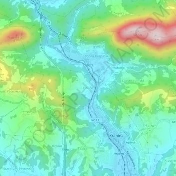
Name: Doliće topographic map, elevation, terrain.
Location: Doliće, Grad Krapina, Krapina-Zagorje County, 49000, Croatia (46.15366 15.84181 46.19366 15.88181)
Average elevation: 997 ft
Minimum elevation: 571 ft
Maximum elevation: 2,178 ft
Thank you for supporting this site ❤️
Make a donation
Make a donation
Gear up for your next adventure:
As an Amazon Associate, this site earns from qualifying purchases at no extra cost to you.