
Strasshof an der Nordbahn topographic map
Interactive map
Click on the map to display elevation.
About this map
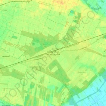
Name: Strasshof an der Nordbahn topographic map, elevation, terrain.
Average elevation: 535 ft
Minimum elevation: 486 ft
Maximum elevation: 574 ft