
Shawnee topographic map
Click on the map to display elevation.
About this map
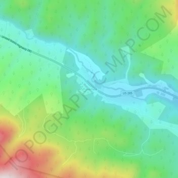
Name: Shawnee topographic map, elevation, terrain.
Location: Shawnee, Park County, Colorado, 80475, United States (39.40054 -105.57438 39.44054 -105.53438)
Average elevation: 8,606 ft
Minimum elevation: 7,986 ft
Maximum elevation: 10,089 ft
Colorado trails, hiking, mountain biking, running and outdoor activities