
Senec topographic map
Click on the map to display elevation.
About this map
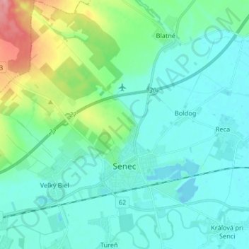
Name: Senec topographic map, elevation, terrain.
Average elevation: 453 ft
Minimum elevation: 390 ft
Maximum elevation: 709 ft
Other topographic maps
Click on a map to view its topography, its elevation and its terrain.
Danube
Slovakia > Region of Bratislava > District of Senec > Bratislava > Čunovo
Average elevation: 410 ft
Veľkobielske jazero "Šutrovka"
Slovakia > Region of Bratislava > District of Senec > Veľký Biel
Average elevation: 417 ft