
Thank you for supporting this site ❤️
Make a donation
Make a donation
Gear up for your next adventure:
As an Amazon Associate, this site earns from qualifying purchases at no extra cost to you.
Malgrat topographic map
Click on the map to display elevation.
Thank you for supporting this site ❤️
Make a donation
Make a donation
Gear up for your next adventure:
As an Amazon Associate, this site earns from qualifying purchases at no extra cost to you.
About this map
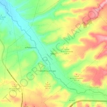
Name: Malgrat topographic map, elevation, terrain.
Location: Malgrat, Cervera, Segarra, Lleida, Catalonië, 25214, Spanje (41.68951 1.28093 41.72951 1.32093)
Average elevation: 1,716 ft
Minimum elevation: 1,483 ft
Maximum elevation: 1,975 ft
Thank you for supporting this site ❤️
Make a donation
Make a donation
Gear up for your next adventure:
As an Amazon Associate, this site earns from qualifying purchases at no extra cost to you.