Geolocate

Lizard topographic map

Click on the map to display elevation.

About this map

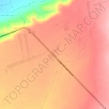
Name: Lizard topographic map, elevation, terrain.

Location: Lizard, El Ingenio, Province of Nasca, Ica, Peru (-14.69359 -75.11497 -14.69259 -75.11344)

Average elevation: 1,535 ft

Minimum elevation: 1,132 ft

Maximum elevation: 1,670 ft

Other topographic maps

Click on a map to view its topography, its elevation and its terrain.

Canaca

Peru > Ica > El Ingenio

Average elevation: 2,290 ft

Dog

Peru > Ica > El Ingenio

Average elevation: 1,506 ft

Gear up for your next adventure:

🧦Hiking Socks - Comfortable socks to prevent blisters on long hikes
🧣Merino Neck Gaiters - Multi-functional headwear for wind and sun protection
🪶LED Camping Lantern - Bright lantern for camp lighting
🔋Solar Power Banks - Keep your GPS and phone charged in remote wilderness areas
🪶Thermal Camp Blanket - Extra warmth for cold nights

As an Amazon Associate, this site earns from qualifying purchases at no extra cost to you.