
Thank you for supporting this site ❤️
Make a donation
Make a donation
Gear up for your next adventure:
As an Amazon Associate, this site earns from qualifying purchases at no extra cost to you.
Fuendejalón topographic map
Click on the map to display elevation.
Thank you for supporting this site ❤️
Make a donation
Make a donation
Gear up for your next adventure:
As an Amazon Associate, this site earns from qualifying purchases at no extra cost to you.
About this map
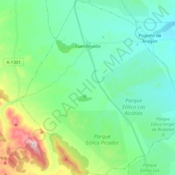
Name: Fuendejalón topographic map, elevation, terrain.
Location: Fuendejalón, Campo de Borja, Zaragoza, Aragón, España (41.68509 -1.52538 41.78697 -1.38966)
Average elevation: 1,716 ft
Minimum elevation: 1,266 ft
Maximum elevation: 3,212 ft
Thank you for supporting this site ❤️
Make a donation
Make a donation
Gear up for your next adventure:
As an Amazon Associate, this site earns from qualifying purchases at no extra cost to you.