Geolocate
👉 Easily get elevation data in JSON, GeoTIFF and KML formats using Elevation API
Thank you for supporting this site ❤️
Make a donation

Dominlog topographic map

Click on the map to display elevation.

About this map

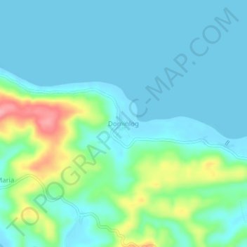
Name: Dominlog topographic map, elevation, terrain.

Location: Dominlog, Calauag, Quezon, Calabarzon, Philippines (13.95244 122.21254 13.99244 122.25254)

Average elevation: 75 ft

Minimum elevation: -3 ft

Maximum elevation: 354 ft

Gear up for your next adventure:

🛠️Outdoor Gear Repair Kit - Essential tools to fix gear on the trail
🧣Merino Neck Gaiters - Multi-functional headwear for wind and sun protection
📱Solar Portable Charger - Solar power bank for charging devices off‑grid
🧭Hiking Compass - Precision compass for reliable navigation in the wilderness
🗺️Topographic Maps - Detailed topo maps for hiking, exploring and outdoor navigation

As an Amazon Associate, this site earns from qualifying purchases at no extra cost to you.