Geolocate

Memang topographic map

Click on the map to display elevation.

About this map

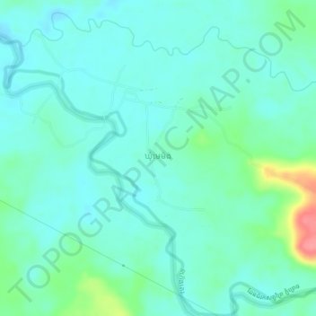
Name: Memang topographic map, elevation, terrain.

Location: Memang, Mondulkiri, Cambodia (12.56150 106.91097 12.60150 106.95097)

Average elevation: 692 ft

Minimum elevation: 636 ft

Maximum elevation: 909 ft

Gear up for your next adventure:

🧢Sun Protection Hats - Wide-brimmed and UPF-rated hats for high-altitude sun safety
🧭GPS Watch Accessories - Bands and chargers for GPS watches
🔌USB Car Charger - Car charger for on‑the‑go power needs
🌎3D Topographic Globes - Raised relief globes for a tactile understanding of geography
🌐World Map Poster - Decorative world maps with topographic info

As an Amazon Associate, this site earns from qualifying purchases at no extra cost to you.