
Thank you for supporting this site ❤️
Make a donation
Make a donation
Gear up for your next adventure:
As an Amazon Associate, this site earns from qualifying purchases at no extra cost to you.
Weiyuan topographic map
Click on the map to display elevation.
Thank you for supporting this site ❤️
Make a donation
Make a donation
Gear up for your next adventure:
As an Amazon Associate, this site earns from qualifying purchases at no extra cost to you.
About this map
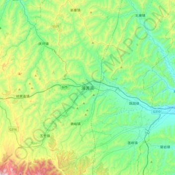
Name: Weiyuan topographic map, elevation, terrain.
Location: Weiyuan, Weiyuan County, Dingxi City, Gansu, China (34.97741 104.05172 35.29741 104.37172)
Average elevation: 7,434 ft
Minimum elevation: 6,250 ft
Maximum elevation: 10,768 ft
Thank you for supporting this site ❤️
Make a donation
Make a donation
Gear up for your next adventure:
As an Amazon Associate, this site earns from qualifying purchases at no extra cost to you.