
Make a donation
Gear up for your next adventure:
As an Amazon Associate, this site earns from qualifying purchases at no extra cost to you.
Meckling Township topographic map
Click on the map to display elevation.
Make a donation
Gear up for your next adventure:
As an Amazon Associate, this site earns from qualifying purchases at no extra cost to you.
About this map
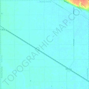
Name: Meckling Township topographic map, elevation, terrain.
Location: Meckling Township, Clay County, South Dakota, United States (42.82265 -97.16077 42.91007 -97.04236)
Average elevation: 1,161 ft
Minimum elevation: 1,148 ft
Maximum elevation: 1,293 ft
Clay County trails, hiking, mountain biking, running and outdoor activities
Make a donation
Gear up for your next adventure:
As an Amazon Associate, this site earns from qualifying purchases at no extra cost to you.
Other topographic maps
Click on a map to view its topography, its elevation and its terrain.
Vermillion
United States > South Dakota > Clay County > Vermillion
The elevation of the city is 1,221 feet (372 m).
Average elevation: 1,243 ft