Geolocate

Paka topographic map

Click on the map to display elevation.

About this map

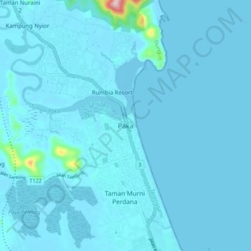
Name: Paka topographic map, elevation, terrain.

Location: Paka, Dungun, Terengganu, 23100, Malaysia (4.59687 103.39598 4.67687 103.47598)

Average elevation: 33 ft

Minimum elevation: -10 ft

Maximum elevation: 850 ft

Gear up for your next adventure:

🧣Merino Neck Gaiters - Multi-functional headwear for wind and sun protection
🧭Map Reading Tools - Tools and kits for map navigation
🥩Freeze-Dried Meals - Nutritious and lightweight food for remote expeditions
🪶Paracord Bracelet - Survival bracelet with built‑in tools
🔥Camping Stove - Portable stove for camping and backcountry cooking

As an Amazon Associate, this site earns from qualifying purchases at no extra cost to you.