Geolocate

Bhadla topographic map

Click on the map to display elevation.

About this map
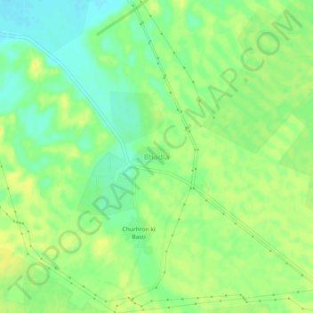
Name: Bhadla topographic map, elevation, terrain.

Location: Bhadla, Bap Tehsil, Phalodi, Rajasthan, India (27.50241 71.91640 27.54241 71.95640)

Average elevation: 587 ft

Minimum elevation: 548 ft

Maximum elevation: 617 ft

Gear up for your next adventure:

🛰️Handheld GPS Units - Professional satellite navigators for precise backcountry mapping
🧯Emergency Survival Kit - All‑in‑one survival essentials for the backcountry
🪶Camping Sleeping Pad - Comfortable sleeping pad for backpacking
🧭Map Reading Tools - Tools and kits for map navigation
🧤Hiking Gloves - Protective gloves for rugged trails

As an Amazon Associate, this site earns from qualifying purchases at no extra cost to you.