
Wardha topographic map
Click on the map to display elevation.
About this map
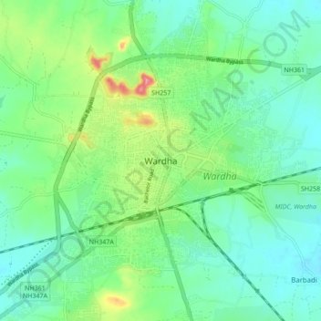
Name: Wardha topographic map, elevation, terrain.
Location: Wardha, Wardha District, Maharashtra, 442001, India (20.58649 78.43979 20.90649 78.75979)
Average elevation: 873 ft
Minimum elevation: 735 ft
Maximum elevation: 1,293 ft