
Ain Fekan topographic map
Interactive map
Click on the map to display elevation.
About this map
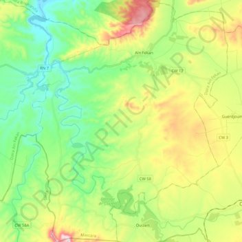
Name: Ain Fekan topographic map, elevation, terrain.
Location: Ain Fekan, Daïra Aïn Fekan, Mascara, Algérie (35.09073 -0.10173 35.26186 0.06709)
Average elevation: 1,483 ft
Minimum elevation: 922 ft
Maximum elevation: 2,523 ft
Other topographic maps
Click on a map to view its topography, its elevation and its terrain.
Aïn Fras
Algérie > Mascara > Daïra Aïn Fekan > Aïn Fras
Aïn Fras, Daïra Aïn Fekan, Mascara, Algérie
Average elevation: 1,348 ft