
Make a donation
Gear up for your next adventure:
As an Amazon Associate, this site earns from qualifying purchases at no extra cost to you.
Steenkerke topographic map
Click on the map to display elevation.
Make a donation
Gear up for your next adventure:
As an Amazon Associate, this site earns from qualifying purchases at no extra cost to you.
Steenkerke
Steenkerke ligt in de Oudlandpolders op een hoogte van ongeveer 3 meter. Door de kom loopt de Steengracht. Ten westen van het dorp vindt men de Lovaart. In het noorden werd de A18 aangelegd, een autosnelweg die het landelijk gebied scheidt van de bebouwing van Veurne.
Make a donation
Gear up for your next adventure:
As an Amazon Associate, this site earns from qualifying purchases at no extra cost to you.
About this map
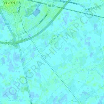
Name: Steenkerke topographic map, elevation, terrain.
Location: Steenkerke, Veurne, West-Vlaanderen, België (51.03255 2.65587 51.07294 2.72105)
Average elevation: 7 ft
Minimum elevation: -16 ft
Maximum elevation: 23 ft
Make a donation
Gear up for your next adventure:
As an Amazon Associate, this site earns from qualifying purchases at no extra cost to you.
Other topographic maps
Click on a map to view its topography, its elevation and its terrain.