Geolocate

Timpas topographic map

Click on the map to display elevation.

About this map

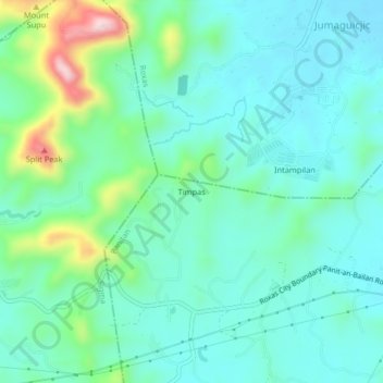
Name: Timpas topographic map, elevation, terrain.

Location: Timpas, Panitan, Capiz, Western Visayas, 5815, Philippines (11.45900 122.71240 11.49900 122.75240)

Average elevation: 246 ft

Minimum elevation: 26 ft

Maximum elevation: 1,017 ft

Gear up for your next adventure:

🥤Water Filter Bottle - All‑in‑one filter bottle for safe hydration
🏕️Family Camping Gear - Essentials for group camping trips
🎁Geography Themed Gifts - Unique gift ideas for map lovers and geography enthusiasts
🛡️Insect Repellent - Protection against bugs during outdoor activities
🚗GPS Dash Cams - Record your scenic drives through mountain passes and canyons

As an Amazon Associate, this site earns from qualifying purchases at no extra cost to you.