Geolocate

Villa Heights topographic map

Click on the map to display elevation.

About this map

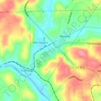
Name: Villa Heights topographic map, elevation, terrain.

Location: Villa Heights, Henry County, Virginia, United States (36.68413 -79.90910 36.70629 -79.88557)

Average elevation: 840 ft

Minimum elevation: 699 ft

Maximum elevation: 1,010 ft

Henry County trails, hiking, mountain biking, running and outdoor activities

Gear up for your next adventure:

🔋Solar Power Banks - Keep your GPS and phone charged in remote wilderness areas
🧷Carabiner Set - Durable clips for gear attachment
👖Convertible Hiking Pants - Versatile zip-off pants for changing altitudes and temperatures
📚Navigation Handbooks - Master the art of reading topographic maps and using a compass
📶Satellite Messenger - Communication device off‑grid

As an Amazon Associate, this site earns from qualifying purchases at no extra cost to you.