Geolocate

Hemingford topographic map

Click on the map to display elevation.

About this map

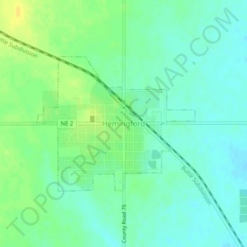
Name: Hemingford topographic map, elevation, terrain.

Location: Hemingford, Box Butte County, Nebraska, United States (42.31416 -103.08575 42.32889 -103.06229)

Average elevation: 4,259 ft

Minimum elevation: 4,229 ft

Maximum elevation: 4,301 ft

Box Butte County trails, hiking, mountain biking, running and outdoor activities

Gear up for your next adventure:

🔌USB Car Charger - Car charger for on‑the‑go power needs
📡Handheld GPS Device - Reliable handheld GPS for outdoor navigation
📻Weather Alert Radios - Stay informed of storm risks while off-the-grid
🏔️Mountain Trail Maps - High‑detail maps for popular peaks
🚁Photography Drones - Capture stunning aerial views of landforms and topography

As an Amazon Associate, this site earns from qualifying purchases at no extra cost to you.