
Howardwick topographic map
Click on the map to display elevation.
About this map
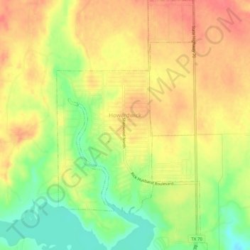
Name: Howardwick topographic map, elevation, terrain.
Location: Howardwick, Donley County, Texas, United States (35.01554 -100.92025 35.05566 -100.89068)
Average elevation: 2,726 ft
Minimum elevation: 2,608 ft
Maximum elevation: 2,812 ft
Donley County trails, hiking, mountain biking, running and outdoor activities