
Madawaska topographic map
Click on the map to display elevation.
About this map
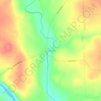
Name: Madawaska topographic map, elevation, terrain.
Location: Madawaska, Caribou, Aroostook County, Maine, United States (46.86443 -67.96701 46.90443 -67.92701)
Average elevation: 541 ft
Minimum elevation: 351 ft
Maximum elevation: 722 ft
Aroostook County trails, hiking, mountain biking, running and outdoor activities