
Thank you for supporting this site ❤️
Make a donation
Make a donation
Gear up for your next adventure:
As an Amazon Associate, this site earns from qualifying purchases at no extra cost to you.
Shahpur topographic map
Click on the map to display elevation.
Thank you for supporting this site ❤️
Make a donation
Make a donation
Gear up for your next adventure:
As an Amazon Associate, this site earns from qualifying purchases at no extra cost to you.
About this map
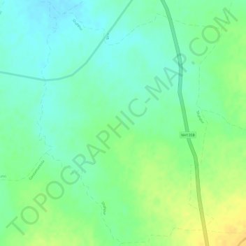
Name: Shahpur topographic map, elevation, terrain.
Location: Shahpur, Semaria Tahsil, Rewa District, Madhya Pradesh, India (24.69530 81.23014 24.72178 81.25245)
Average elevation: 938 ft
Minimum elevation: 896 ft
Maximum elevation: 991 ft
Thank you for supporting this site ❤️
Make a donation
Make a donation
Gear up for your next adventure:
As an Amazon Associate, this site earns from qualifying purchases at no extra cost to you.