Geolocate

Kaliabor topographic map

Click on the map to display elevation.

About this map

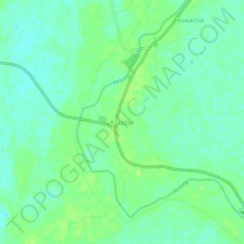
Name: Kaliabor topographic map, elevation, terrain.

Location: Kaliabor, Nagaon District, Assam, 782137, India (26.51871 92.90921 26.55871 92.94921)

Average elevation: 230 ft

Minimum elevation: 210 ft

Maximum elevation: 246 ft

Gear up for your next adventure:

🛌Ultralight Sleeping Bags - Compact down bags for cold nights in the wilderness
🛰️Satellite Messengers - Emergency SOS and two-way messaging for off-grid adventures
🕶️GPS Smartphone Mount - Secure mount for phone navigation
🩳Quick‑Dry Hiking Shorts - Comfortable and quick‑dry shorts for summer hiking
🚗GPS Dash Cams - Record your scenic drives through mountain passes and canyons

As an Amazon Associate, this site earns from qualifying purchases at no extra cost to you.