
Aydora topographic map
Click on the map to display elevation.
About this map
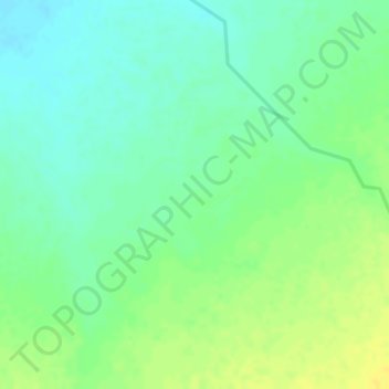
Name: Aydora topographic map, elevation, terrain.
Location: Aydora, Siti, Somali Region, Ethiopia (9.84000 41.20667 9.86000 41.22667)
Average elevation: 2,549 ft
Minimum elevation: 2,510 ft
Maximum elevation: 2,589 ft
Other topographic maps
Click on a map to view its topography, its elevation and its terrain.
Shabelle
Grazing land for pastoralists make up the majority of Shabelle Zone. Six of its seven woredas are located along the banks of the Shebelle river, which flows out of the highlands through the Zone and into Somalia. 40-50% of the population depend on irrigated farming, 25-30% on agro-pastoralism and 20-30% on…
Average elevation: 1,867 ft