
Make a donation
Gear up for your next adventure:
As an Amazon Associate, this site earns from qualifying purchases at no extra cost to you.
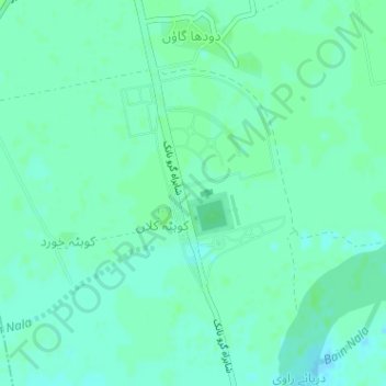
Kartarpur topographic map
Click on the map to display elevation.
Make a donation
Gear up for your next adventure:
As an Amazon Associate, this site earns from qualifying purchases at no extra cost to you.
Kartarpur
Kartarpur is located at 32°5′13″N 75°1′0″E / 32.08694°N 75.01667°E / 32.08694; 75.01667, at an average elevation of 155 metres (511 feet). It lies upon the western banks of the Ravi River, opposite the town of Dera Baba Nanak, a sacred town in Sikhism.
Make a donation
Gear up for your next adventure:
As an Amazon Associate, this site earns from qualifying purchases at no extra cost to you.
About this map
Name: Kartarpur topographic map, elevation, terrain.
Average elevation: 791 ft
Minimum elevation: 778 ft
Maximum elevation: 797 ft
Make a donation
Gear up for your next adventure:
As an Amazon Associate, this site earns from qualifying purchases at no extra cost to you.