
Thank you for supporting this site ❤️
Make a donation
Make a donation
Gear up for your next adventure:
As an Amazon Associate, this site earns from qualifying purchases at no extra cost to you.
Socavon topographic map
Click on the map to display elevation.
Thank you for supporting this site ❤️
Make a donation
Make a donation
Gear up for your next adventure:
As an Amazon Associate, this site earns from qualifying purchases at no extra cost to you.
About this map
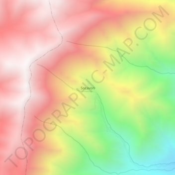
Name: Socavon topographic map, elevation, terrain.
Location: Socavon, Quicacha, Caravelí, Arequipa, Perú (-15.63468 -73.85641 -15.59468 -73.81641)
Average elevation: 9,377 ft
Minimum elevation: 6,106 ft
Maximum elevation: 11,621 ft
Thank you for supporting this site ❤️
Make a donation
Make a donation
Gear up for your next adventure:
As an Amazon Associate, this site earns from qualifying purchases at no extra cost to you.