
Barota topographic map
Click on the map to display elevation.
About this map
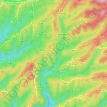
Name: Barota topographic map, elevation, terrain.
Location: Barota, Baroh, Kangra, Himachal Pradesh, India (32.03748 76.33529 32.07748 76.37529)
Average elevation: 2,667 ft
Minimum elevation: 2,293 ft
Maximum elevation: 3,084 ft