
Thank you for supporting this site ❤️
Make a donation
Make a donation
Gear up for your next adventure:
As an Amazon Associate, this site earns from qualifying purchases at no extra cost to you.
Pride topographic map
Click on the map to display elevation.
Thank you for supporting this site ❤️
Make a donation
Make a donation
Gear up for your next adventure:
As an Amazon Associate, this site earns from qualifying purchases at no extra cost to you.
About this map
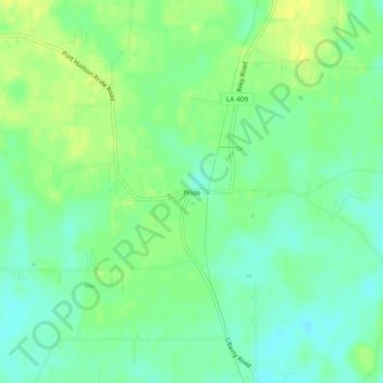
Name: Pride topographic map, elevation, terrain.
Location: Pride, East Baton Rouge Parish, Louisiana, United States (30.67380 -90.99816 30.71380 -90.95816)
Average elevation: 112 ft
Minimum elevation: 79 ft
Maximum elevation: 144 ft
East Baton Rouge Parish trails, hiking, mountain biking, running and outdoor activities
Thank you for supporting this site ❤️
Make a donation
Make a donation
Gear up for your next adventure:
As an Amazon Associate, this site earns from qualifying purchases at no extra cost to you.