Geolocate

Nkoowe topographic map

Click on the map to display elevation.

About this map

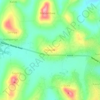
Name: Nkoowe topographic map, elevation, terrain.

Location: Nkoowe, Wakiso, Central Region, Uganda (0.39557 32.42231 0.43557 32.46231)

Average elevation: 3,924 ft

Minimum elevation: 3,773 ft

Maximum elevation: 4,193 ft

Gear up for your next adventure:

🛶Inflatable Kayak - Portable kayak for rivers, lakes, and expeditions
👖Convertible Hiking Pants - Versatile zip-off pants for changing altitudes and temperatures
🪶Paracord Bracelet - Survival bracelet with built‑in tools
🪓Survival Multi‑Tool - Versatile tool for camp and trail tasks
📡Handheld GPS Device - Reliable handheld GPS for outdoor navigation

As an Amazon Associate, this site earns from qualifying purchases at no extra cost to you.