Geolocate

Kayar topographic map

Click on the map to display elevation.

About this map

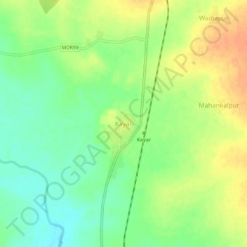
Name: Kayar topographic map, elevation, terrain.

Location: Kayar, Wani, Yavatmal, Maharashtra, 445322, India (19.88820 78.88380 19.92820 78.92380)

Average elevation: 751 ft

Minimum elevation: 689 ft

Maximum elevation: 817 ft

Gear up for your next adventure:

🕶️Glacier Sunglasses - Side shields to protect eyes from high-altitude snow glare
🔌Solar Panel Charger - Charge gear sustainably outdoors
🧯Emergency Survival Kit - All‑in‑one survival essentials for the backcountry
🧭Orienteering Set - Complete compass and map reading kit
🎒Waterproof Dry Bags - Keep your electronics and maps dry inside your pack

As an Amazon Associate, this site earns from qualifying purchases at no extra cost to you.