Geolocate

Bonair topographic map

Click on the map to display elevation.

About this map

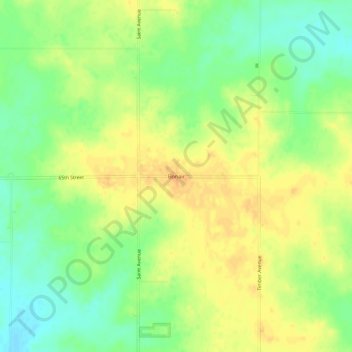
Name: Bonair topographic map, elevation, terrain.

Location: Bonair, Howard County, Iowa, United States (43.40191 -92.21267 43.44191 -92.17267)

Average elevation: 1,280 ft

Minimum elevation: 1,220 ft

Maximum elevation: 1,325 ft

Other topographic maps

Click on a map to view its topography, its elevation and its terrain.

Gear up for your next adventure:

🪑Ultralight Camp Chairs - Portable seating for resting after a long day of mapping
📷Action Cameras - Rugged cameras to document your journeys across rugged terrain
🔭Telescopic Hiking Pole - Adjustable pole for hiking stability
🧣Merino Neck Gaiters - Multi-functional headwear for wind and sun protection
🪶Paracord Bracelet - Survival bracelet with built‑in tools

As an Amazon Associate, this site earns from qualifying purchases at no extra cost to you.