
Paquier topographic map
Click on the map to display elevation.
About this map
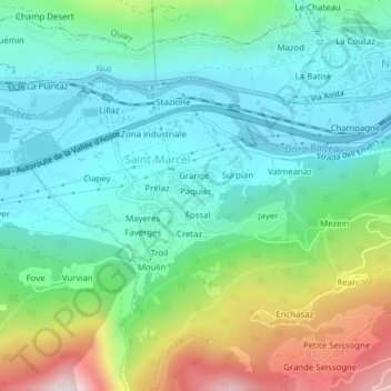
Name: Paquier topographic map, elevation, terrain.
Location: Paquier, Saint-Marcel, Aosta Valley, Italy (45.73106 7.44852 45.73301 7.45305)
Average elevation: 2,356 ft
Minimum elevation: 1,680 ft
Maximum elevation: 4,091 ft