
Thank you for supporting this site ❤️
Make a donation
Make a donation
Gear up for your next adventure:
As an Amazon Associate, this site earns from qualifying purchases at no extra cost to you.
Wuqiaoling topographic map
Click on the map to display elevation.
Thank you for supporting this site ❤️
Make a donation
Make a donation
Gear up for your next adventure:
As an Amazon Associate, this site earns from qualifying purchases at no extra cost to you.
About this map
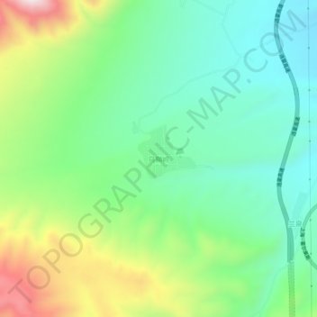
Name: Wuqiaoling topographic map, elevation, terrain.
Location: Wuqiaoling, Wuwei, Gansu, China (37.21886 102.78922 37.25886 102.82922)
Average elevation: 9,537 ft
Minimum elevation: 8,842 ft
Maximum elevation: 10,994 ft
Thank you for supporting this site ❤️
Make a donation
Make a donation
Gear up for your next adventure:
As an Amazon Associate, this site earns from qualifying purchases at no extra cost to you.