
悦乐镇 topographic map
Interactive map
Click on the map to display elevation.
About this map
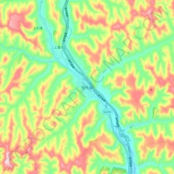
Name: 悦乐镇 topographic map, elevation, terrain.
Location: 悦乐镇, 华池县, 庆阳市, 甘肃省, 中国 (36.22470 107.87133 36.30470 107.95133)
Average elevation: 4,150 ft
Minimum elevation: 3,665 ft
Maximum elevation: 4,783 ft
Other topographic maps
Click on a map to view its topography, its elevation and its terrain.