
Thank you for supporting this site ❤️
Make a donation
Make a donation
Gear up for your next adventure:
As an Amazon Associate, this site earns from qualifying purchases at no extra cost to you.
Vedal topographic map
Click on the map to display elevation.
Thank you for supporting this site ❤️
Make a donation
Make a donation
Gear up for your next adventure:
As an Amazon Associate, this site earns from qualifying purchases at no extra cost to you.
About this map
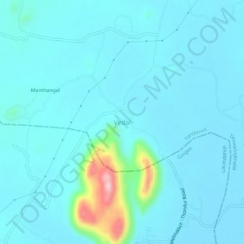
Name: Vedal topographic map, elevation, terrain.
Location: Vedal, Vandavasi, Tiruvannamalai, Tamil Nadu, 604203, India (12.35544 79.45231 12.39544 79.49231)
Average elevation: 377 ft
Minimum elevation: 289 ft
Maximum elevation: 1,096 ft
Thank you for supporting this site ❤️
Make a donation
Make a donation
Gear up for your next adventure:
As an Amazon Associate, this site earns from qualifying purchases at no extra cost to you.