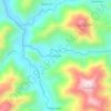
Vilcabamba topographic map
Click on the map to display elevation.
Vilcabamba
Although the Vilcabambans did not enjoy greater longevity than the rest of the world, researchers noted that the Vilcabamban lifestyle, which included hard work in a high altitude combined with a low-calorie, low-animal-fat diet, did seem to keep the villagers healthy and vigorous in their old age.
About this map
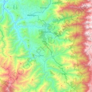
Name: Vilcabamba topographic map, elevation, terrain.
Location: Vilcabamba, Loja, Ecuador (-4.35473 -79.33383 -4.23716 -79.10511)
Average elevation: 7,224 ft
Minimum elevation: 4,331 ft
Maximum elevation: 12,136 ft
Other topographic maps
Click on a map to view its topography, its elevation and its terrain.
Loja
Across the road from University Park is the botanical garden which is open to the public and the oldest in Ecuador, created in 1949. There are over 800 native and exotic species. It is a living laboratory for scientific research and environmental education. It covers an area of 7 hectares divided into 5…
Average elevation: 7,516 ft