
Make a donation
Gear up for your next adventure:
As an Amazon Associate, this site earns from qualifying purchases at no extra cost to you.
Sant Ramon topographic map
Click on the map to display elevation.
Make a donation
Gear up for your next adventure:
As an Amazon Associate, this site earns from qualifying purchases at no extra cost to you.
About this map
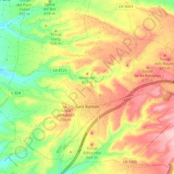
Name: Sant Ramon topographic map, elevation, terrain.
Location: Sant Ramon, Segarra, Lérida, Cataluña, 25215, España (41.70749 1.32295 41.75625 1.40168)
Average elevation: 2,054 ft
Minimum elevation: 1,732 ft
Maximum elevation: 2,359 ft
Make a donation
Gear up for your next adventure:
As an Amazon Associate, this site earns from qualifying purchases at no extra cost to you.
Other topographic maps
Click on a map to view its topography, its elevation and its terrain.
Make a donation
Gear up for your next adventure:
As an Amazon Associate, this site earns from qualifying purchases at no extra cost to you.
Pomar
España > Cataluña > Segarra > Ribera d'Ondara > Sant Antolí i Vilanova
Average elevation: 1,982 ft
Make a donation
Gear up for your next adventure:
As an Amazon Associate, this site earns from qualifying purchases at no extra cost to you.