Geolocate

Markandi topographic map

Click on the map to display elevation.

About this map

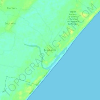
Name: Markandi topographic map, elevation, terrain.

Location: Markandi, Rangeilunda, Ganjam, Odisha, India (19.16750 84.80894 19.20750 84.84894)

Average elevation: 16 ft

Minimum elevation: 0 ft

Maximum elevation: 52 ft

Gear up for your next adventure:

🗺️NatGeo Topo Maps - High-quality waterproof printed topographic maps of US Parks
🪄Magnetic Compass - Accurate compass for navigation
📱Solar Portable Charger - Solar power bank for charging devices off‑grid
🌲Outdoor Survival Books - Best books on survival skills
🌡️Portable Weather Meter - Track weather conditions on the trail

As an Amazon Associate, this site earns from qualifying purchases at no extra cost to you.