Geolocate

Pollard topographic map

Click on the map to display elevation.

About this map

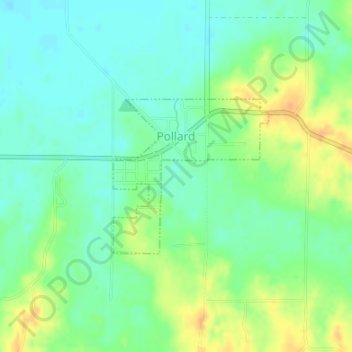
Name: Pollard topographic map, elevation, terrain.

Location: Pollard, Clay County, Arkansas, United States (36.42198 -90.27368 36.43384 -90.25884)

Average elevation: 358 ft

Minimum elevation: 315 ft

Maximum elevation: 427 ft

Clay County trails, hiking, mountain biking, running and outdoor activities

Other topographic maps

Click on a map to view its topography, its elevation and its terrain.

Carryville

United States > Arkansas > Clay County

Average elevation: 272 ft

Gear up for your next adventure:

📱Heavy-Duty Phone Cases - Drop-proof and waterproof protection for outdoor navigation
📷Action Cameras - Rugged cameras to document your journeys across rugged terrain
👖Convertible Hiking Pants - Versatile zip-off pants for changing altitudes and temperatures
🔭Compact Binoculars - HD vision for scouting terrain and identifying distant landmarks
💧Water Purification System - Clean water on the trail with reliable purifiers

As an Amazon Associate, this site earns from qualifying purchases at no extra cost to you.