Geolocate

Montrose topographic map

Click on the map to display elevation.

About this map

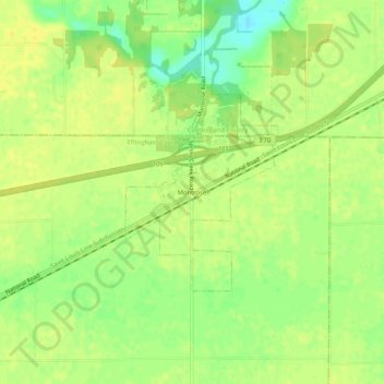
Name: Montrose topographic map, elevation, terrain.

Location: Montrose, Effingham County, Illinois, United States (39.14532 -88.39921 39.18532 -88.35921)

Average elevation: 597 ft

Minimum elevation: 548 ft

Maximum elevation: 617 ft

Effingham County trails, hiking, mountain biking, running and outdoor activities

Gear up for your next adventure:

🪶Camp Gear Gift Set - Perfect gift bundle for outdoor fans
🌡️Handheld Weather Meters - Measure wind, temp, and pressure for safe mountain travel
🕶️Glacier Sunglasses - Side shields to protect eyes from high-altitude snow glare
🥄Camping Utensil Set - Lightweight utensils for outdoor meals
🔌Solar Panel Charger - Charge gear sustainably outdoors

As an Amazon Associate, this site earns from qualifying purchases at no extra cost to you.