Geolocate

Gemert topographic map

Click on the map to display elevation.

About this map

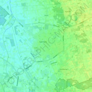
Name: Gemert topographic map, elevation, terrain.

Location: Gemert, Gemert-Bakel, North Brabant, Netherlands (51.52842 5.65136 51.58374 5.75134)

Average elevation: 56 ft

Minimum elevation: 36 ft

Maximum elevation: 85 ft

Other topographic maps

Click on a map to view its topography, its elevation and its terrain.

Berkhoek

Netherlands > North Brabant > Udenhout

Average elevation: 36 ft

Gear up for your next adventure:

🚪Portable Camp Chair - Foldable chair for comfort at camp
🧢Outdoor Hiking Hat - Sun protection hat for outdoor explorers
🪶LED Camping Lantern - Bright lantern for camp lighting
🛠️Outdoor Gear Repair Kit - Essential tools to fix gear on the trail
🦶Hiking Gaiters - Keep debris and water out of your boots

As an Amazon Associate, this site earns from qualifying purchases at no extra cost to you.