
Thank you for supporting this site ❤️
Make a donation
Make a donation
Gear up for your next adventure:
As an Amazon Associate, this site earns from qualifying purchases at no extra cost to you.
Amaravathi topographic map
Click on the map to display elevation.
Thank you for supporting this site ❤️
Make a donation
Make a donation
Gear up for your next adventure:
As an Amazon Associate, this site earns from qualifying purchases at no extra cost to you.
About this map
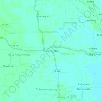
Name: Amaravathi topographic map, elevation, terrain.
Location: Amaravathi, Valangaiman, Thiruvarur, Tamil Nadu, 612605, India (10.82803 79.38183 10.86803 79.42183)
Average elevation: 75 ft
Minimum elevation: 66 ft
Maximum elevation: 85 ft
Thank you for supporting this site ❤️
Make a donation
Make a donation
Gear up for your next adventure:
As an Amazon Associate, this site earns from qualifying purchases at no extra cost to you.