Geolocate

Vellarimala topographic map

Click on the map to display elevation.

About this map

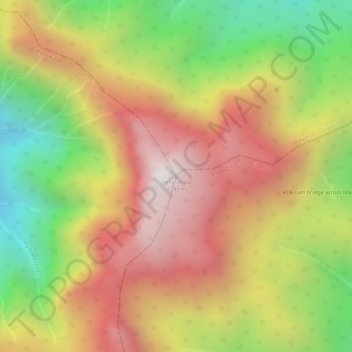
Name: Vellarimala topographic map, elevation, terrain.

Location: Vellarimala, Vythiri, Thamarassery, Kozhikode, Kerala, India (11.45131 76.14329 11.45141 76.14339)

Average elevation: 5,817 ft

Minimum elevation: 4,029 ft

Maximum elevation: 7,251 ft

Gear up for your next adventure:

🧺Microfiber Travel Towels - Compact and fast-drying towels for trail use
🕶️GPS Smartphone Mount - Secure mount for phone navigation
🔦Powerful Headlamps - Ultra-bright hands-free lighting for night navigation
🌄Hiking Binoculars - Compact binoculars for scenic views and trail spotting
🪑Portable Camp Table - Compact table for campsite meals

As an Amazon Associate, this site earns from qualifying purchases at no extra cost to you.