
Thank you for supporting this site ❤️
Make a donation
Make a donation
Gear up for your next adventure:
As an Amazon Associate, this site earns from qualifying purchases at no extra cost to you.
Ramalingapuram topographic map
Click on the map to display elevation.
Thank you for supporting this site ❤️
Make a donation
Make a donation
Gear up for your next adventure:
As an Amazon Associate, this site earns from qualifying purchases at no extra cost to you.
About this map
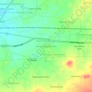
Name: Ramalingapuram topographic map, elevation, terrain.
Location: Ramalingapuram, Vazhapadi, Salem, Tamil Nadu, 636103, India (11.64385 78.24021 11.68385 78.28021)
Average elevation: 1,115 ft
Minimum elevation: 1,030 ft
Maximum elevation: 1,243 ft
Thank you for supporting this site ❤️
Make a donation
Make a donation
Gear up for your next adventure:
As an Amazon Associate, this site earns from qualifying purchases at no extra cost to you.
Other topographic maps
Click on a map to view its topography, its elevation and its terrain.