Geolocate

Columbus topographic map

Click on the map to display elevation.

About this map

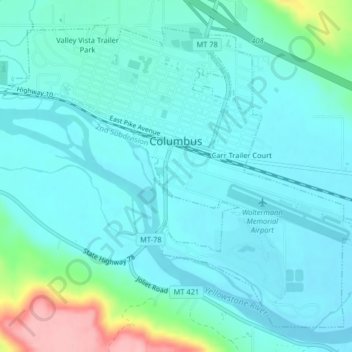
Name: Columbus topographic map, elevation, terrain.

Location: Columbus, Stillwater County, Montana, United States (45.62150 -109.27125 45.64595 -109.23056)

Average elevation: 3,632 ft

Minimum elevation: 3,547 ft

Maximum elevation: 4,035 ft

Stillwater County trails, hiking, mountain biking, running and outdoor activities

Other topographic maps

Click on a map to view its topography, its elevation and its terrain.

Princess Lake

United States > Montana > Stillwater County

Average elevation: 9,875 ft

Gear up for your next adventure:

🥾Men's Hiking Boots - Durable, waterproof footwear for rugged terrain and steep inclines
🥾Hiking Shoes - Durable and comfortable shoes for trail hiking
📖Nature Tracking Books - Learn to track wildlife and terrain
🪶LED Camping Lantern - Bright lantern for camp lighting
🧴Hand Sanitizer - Keep hands clean while hiking

As an Amazon Associate, this site earns from qualifying purchases at no extra cost to you.