
Arapahoe topographic map
Click on the map to display elevation.
About this map
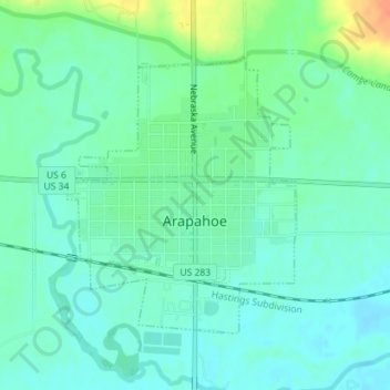
Name: Arapahoe topographic map, elevation, terrain.
Location: Arapahoe, Furnas County, Nebraska, 68922, United States (40.29556 -99.90936 40.31476 -99.88852)
Average elevation: 2,185 ft
Minimum elevation: 2,146 ft
Maximum elevation: 2,283 ft
Furnas County trails, hiking, mountain biking, running and outdoor activities