
蔡家坡镇 topographic map
Interactive map
Click on the map to display elevation.
About this map
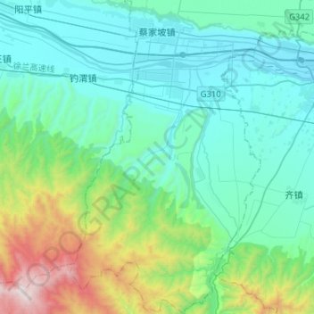
Name: 蔡家坡镇 topographic map, elevation, terrain.
Location: 蔡家坡镇, 岐山县, 宝鸡市, 陕西省, 722406, 中国 (34.13088 107.52682 34.34360 107.68511)
Average elevation: 2,740 ft
Minimum elevation: 1,591 ft
Maximum elevation: 7,631 ft
Other topographic maps
Click on a map to view its topography, its elevation and its terrain.