
Thank you for supporting this site ❤️
Make a donation
Make a donation
Gear up for your next adventure:
As an Amazon Associate, this site earns from qualifying purchases at no extra cost to you.
Waddell topographic map
Click on the map to display elevation.
Thank you for supporting this site ❤️
Make a donation
Make a donation
Gear up for your next adventure:
As an Amazon Associate, this site earns from qualifying purchases at no extra cost to you.
About this map
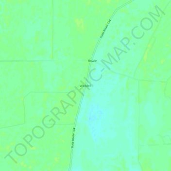
Name: Waddell topographic map, elevation, terrain.
Location: Waddell, East Carroll Parish, Louisiana, United States (32.73235 -91.29011 32.77235 -91.25011)
Average elevation: 92 ft
Minimum elevation: 72 ft
Maximum elevation: 102 ft
Thank you for supporting this site ❤️
Make a donation
Make a donation
Gear up for your next adventure:
As an Amazon Associate, this site earns from qualifying purchases at no extra cost to you.