Geolocate

Planaval topographic map

Click on the map to display elevation.

About this map

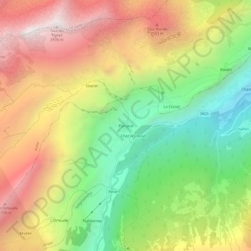
Name: Planaval topographic map, elevation, terrain.

Location: Planaval, Arvier, Aosta Valley, Italy (45.65313 7.06004 45.69313 7.10004)

Average elevation: 6,726 ft

Minimum elevation: 4,042 ft

Maximum elevation: 9,672 ft

Gear up for your next adventure:

🗻Climbing Gear Basics - Essential gear for beginner climbers
🌧️Backpack Rain Cover - Keep gear dry in wet weather
🔌Solar Panel Charger - Charge gear sustainably outdoors
Backpacking Tents - Weight-optimized shelters for multi-day topographic surveys
🌲Outdoor Survival Books - Best books on survival skills

As an Amazon Associate, this site earns from qualifying purchases at no extra cost to you.