
Thank you for supporting this site ❤️
Make a donation
Make a donation
Gear up for your next adventure:
As an Amazon Associate, this site earns from qualifying purchases at no extra cost to you.
Bozbelen topographic map
Click on the map to display elevation.
Thank you for supporting this site ❤️
Make a donation
Make a donation
Gear up for your next adventure:
As an Amazon Associate, this site earns from qualifying purchases at no extra cost to you.
About this map
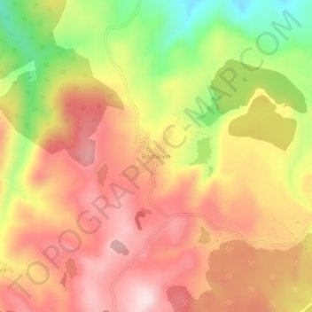
Name: Bozbelen topographic map, elevation, terrain.
Location: Bozbelen, Tavşanlı, Kütahya, Aegean Region, Turkey (39.66458 29.39107 39.70458 29.43107)
Average elevation: 3,212 ft
Minimum elevation: 2,428 ft
Maximum elevation: 3,760 ft
Thank you for supporting this site ❤️
Make a donation
Make a donation
Gear up for your next adventure:
As an Amazon Associate, this site earns from qualifying purchases at no extra cost to you.